The Rocks' trails, fields, and parking lots are OPEN to the public! The accessible restrooms inside the vestibule are open daily from dawn to dusk, even when the rest of the Carriage Barn is closed.
Download our mobile app, powered by OuterSpatial, for maps and trail information on the go.

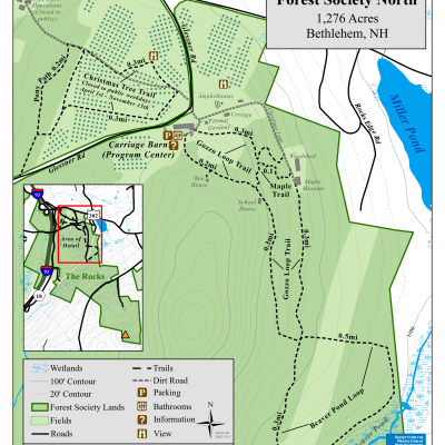
Christmas Tree Trail - .8 miles/Easy *The trail is closed on weekdays from April 1 through November 20 to ensure our staff can care for the Christmas trees in the field.*
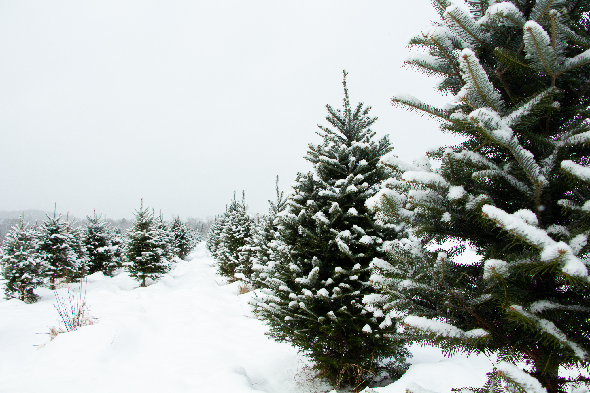
The Christmas Tree Trail leads visitors through The Rocks Christmas tree fields. The trail leads past wetland habitat, rows of Christmas trees, and artfully crafted stone walls, with panoramic views of the White Mountains along the way.
Michael A. Gozzo Trail - 4.6 miles/Varied
This varied trail is named for the late Michael A. Gozzo, who loved hiking and the White Mountains. The trail meanders through The Rocks, crossing managed woodland and overgrown apple orchards, and skirting beaver ponds and wetland habitat.
Hikers may explore this trail as one long loop or by selecting one or more of the various spurs:
- 1.8-mile/ Moderate - Gozzo Rocks Loop begins and ends at The Rocks and includes the Beaver Pond Loop.
- .67-mile (one-way)/Difficult - Gozzo Trail to South Road - This spur of the trail leads steeply from the beaver pond to South Road.
- 1.5-mile/Moderate - Gozzo South Road Loop begins and ends at the South Road parking area.
Please see our Visitor Use Guidelines page for a complete list of rules and regulations for Forest Society reservations.

