

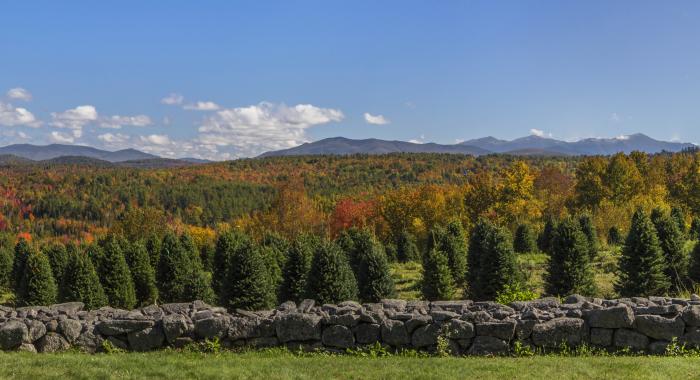
About the Property
The Washburn Family Forest has long been a popular destination for anglers, hunters and snowmobilers, and is know for tremendous trout fishing.
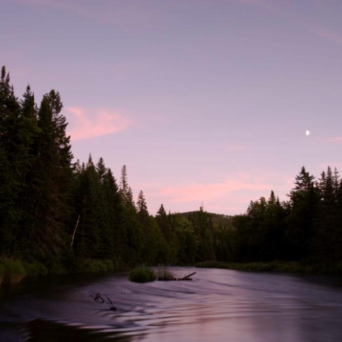
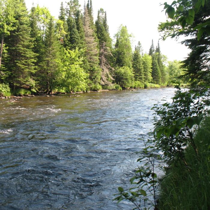
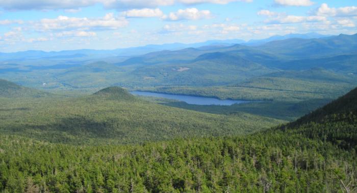
Fed by the pristine waters that flow from the four Connecticut Lakes and Lake Francis, the Upper Connecticut River, including six miles of river frontage at the Washburn Forest, is well known among fly fishing enthusiasts as one of New England’s premier cold-water fisheries. The easiest place to access the river within the Washburn Forest is from the parking area and trailhead on the east side of Route 3 in Clarksville. From the lot, a trail parallels the river for 0.3 miles before connecting to the larger network of woods roads throughout the property’s interior.
The property sits directly opposite the scenic Amey Farm (conserved previously by the Land Conservation Investment Program, with an easement held by the Forest Society) located near the confluence of the Indian Stream and the Connecticut River.
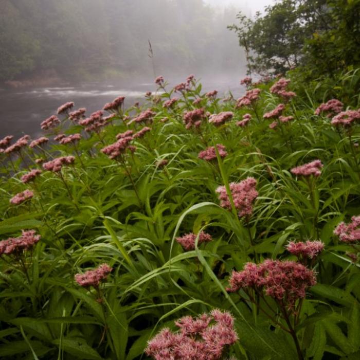
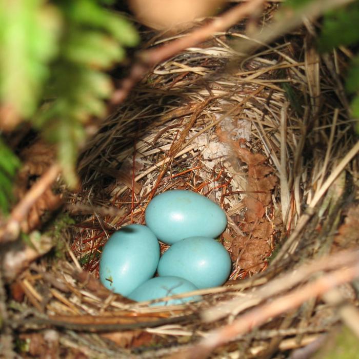
The Connecticut River, as well as the land’s small streams, wetlands, and forests provide the food and shelter needed by moose, deer, bear, fisher, mink, and otter, as well as many migratory waterfowl and boreal bird species to survive. Even the bald eagle and threatened Northern Harrier have a home here. The six miles of river frontage include sections that provide important nursery and rearing habitat for juvenile Atlantic salmon and spawning habitat for trout. The land also supports several significant rare plants and natural communities.
According to the Eastern Brook Trout Joint Venture, the upper Connecticut River watershed contains the highest percentage of high-quality wild brook trout habitat in the state. The brook trout, as well as rainbows, browns and landlocked salmon, draw anglers from far and wide to this region of the Connecticut River.
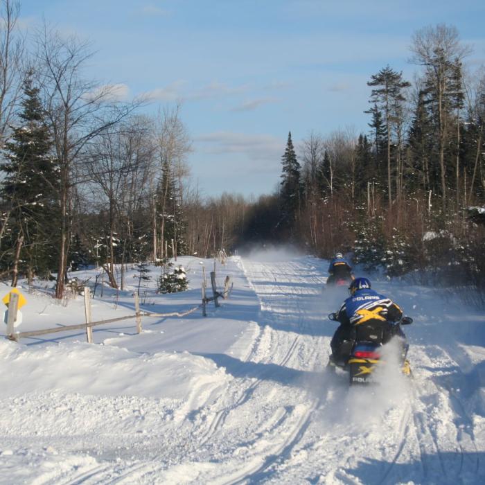
The property also includes snowmobile Trail 128 – a key corridor that connects Pittsburg with West Stewartstown and Colebrook within the trail network of the Colebrook Ski-Bees Snowmobile Club.
Near the height of land lies the old Bressette Farm, where a family lived and farmed. When the Washburns acquired the farm, they removed the structures but kept the fields open for the views and for wildlife habitat. The Forest Society maintains these fields because they provide excellent wildlife habitat.
Fishing Guide
This 2,100 acre property has more than six miles of frontage on the upper Connecticut River, one of New Hampshire’s premier trout streams. Most people see and fish the river from the Route 3 side, where access is easy (and the Forest Society owns three small parcels just upstream of the “green bridge” on Route 3), but if you are game for a day of hiking on the trails, you can access a number of nice fishing spots. The easiest access to the trails for fishing is to park at the Pittsburg covered bridge, walk over the bridge and then immediately turn right. The Forest Society has a trail right-of-way along the river, and you can walk for some distance while hearing or seeing the river to your right. The best part about fishing at the Washburn Forest is that you are in “trout country.” Stop in at one of the local stores or fly fishing shops and get more advice on where to fish in the area.
Please see our Visitor Use Guidelines page for a complete list of rules and regulations for Forest Society reservations.
Property Details
The land has a long history as a working forest. The Washburn siblings’ father Reuben Washburn and his business partner George Hann first began purchasing timberland in the 1940s and early 1950s for what became the Washburn Lumber Company.
Malcolm Washburn remembers cutting fir and spruce logs with his father, then using horses to skid the logs to landings. Large spruce were sold for saw logs, while the smaller softwoods were sluiced into the Connecticut River and floated to Lancaster. From there the logs were loaded into boxcars and shipped to Bucksport, Maine or to the Deferiet paper mill in upstate New York.
Gas-powered bulldozer-crawlers and mechanical skidders had replaced horses by the mid-1960s. During this time, Malcolm’s crews constructed more than 17 miles of gravel access roads through their Clarksville woodlot. Today those well-built roads enable the Forest Society to practice sustainable forestry on the land while also providing snowmobile and hiker access.
In 1990 Reuben sold the family’s Washburn Lumber Company sawmill, and Malcolm founded the “WeLog” business to focus on logging operations. The Washburns have retained a small portion of the property containing a gravel pit that supplies materials to neighboring communities.
Circumstances of acquisition:
The Forest Society purchased the property from siblings Malcolm Washburn, Dallas Chase and Bruce Washburn, who acquired the land from their parents.
The Forest Society needed to raise $2.8 million to conserve the land and more than 700 individual donors, including members of Trout Unlimited and the New Hampshire Snowmobile Association, helped make this accomplishment possible. One anonymous contributor made a keystone donation of $900,000 – one of the largest cash donations ever received by the Forest Society to protect a specific land parcel.
The fundraising campaign was initiated in the fall of 2007 when the state-funded Land and Community Heritage Investment Program (LCHIP) granted $400,000 toward the project.
Additional major grants were also secured from the NH Charitable Foundation’s Upper Connecticut River Mitigation and Enhancement Fund ($500,000), National Fish & Wildlife Foundation ($500,000), NH Fish & Game Department ($250,000), and the Neil and Louise Tillotson Fund ($75,000).
Another $500,000 came from the National Fish and Wildlife Foundation (NFWF), a non-profit that sustains, restores, and enhances the nation's fish, wildlife, plants and habitats. The NFWF allocated funds for the project from the Acres for America grant program, which is funded by Wal-Mart.
Other grants included $250,000 from NH Fish and Game, whose support for the project was funded by anglers and hunters whose license fees include a dedicated contribution to restricted habitat funds that can only be used for projects like this. Other grants came from the New Hampshire Electric Co-op (NHEC) Foundation, which is funded by Co-op members who agree to have their monthly electric bills rounded up to the next dollar, and TransCanada Corporation.
Trail Information
Connecticut River Access Trail
Yellow Rectangles
The gravel road system of more than 9 miles allows access throughout the entire property. Portions of these roads are also part of Trail 128, which runs between Colebrook and Pittsburg and is maintained by the Colebrook Ski-Bees Snowmobile Club.
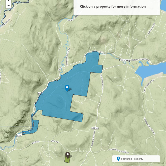
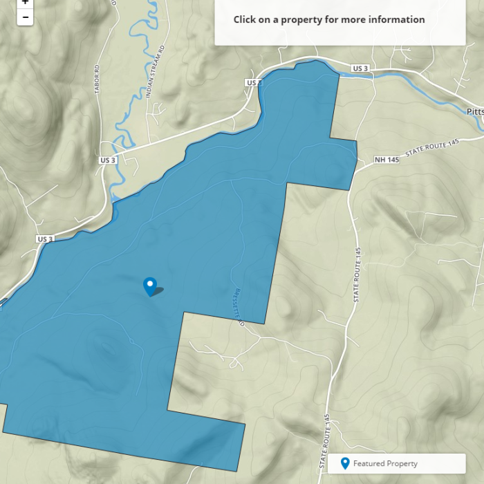
Parking area on Route 3 just south of the Connecticut River. There you will find an informational kiosk with a property map. A hiking trail leads from the kiosk on Route 3 along the river and up into the property and the internal gravel road system. Please do not access the property from the abutting private land as indicated on the map. There are outstanding views of the Connecticut River valley and Indian Stream from the eastern portion of the interior road system.
This trail leaves from the parking lot and kiosk on Route 3 and travels north, paralleling the Connecticut River for 0.3 miles. The trail provides easy access to the river for anglers. After 0.3 miles, the trail crosses Favreau Brook (no bridge here so exercise caution when crossing) and turns east for 0.2 miles before linking with the network of gravel roads in the interior of the property. Although bog bridges have been constructed along much of the trail’s length along the Connecticut River, it can still be quite wet in spring so be sure to wear appropriate footwear.
Recommended Properties Nearby
The Kauffmann Forest surrounds the land at Christine Lake owned by the Percy Summer Club. The club's land is protected by a conservation easement held by the Forest Society. Combined with the state-owned Nash Stream Forest, these conservation lands comprise the entire watershed of beautiful Christine Lake.
Nestled in the heart of New Hampshire’s White Mountains, Forest Society North at The Rocks is a year-round destination for visitors with a new program center in the historic Carriage Barn and family-friendly activities across 1,400 acres of conservation land.