Visitor Guide
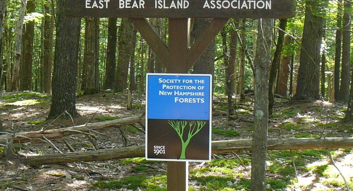
Welcome to our Visitor Guide. You can browse our properties using the map, or scroll down to filter by region or recreational activity. Featured forests (blue pins) are the best for recreation and they typically have parking areas, mapped trails, and more detailed information. All of our protected forests are open to the public. You can also search by property name or town.
Skip map
Filter Results
Results
Displaying 1 - 10 of 184 results
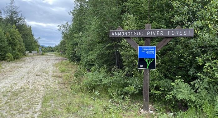
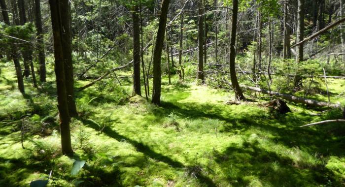
Ammonoosuc River Forest
- Recreations:
- Birdwatching,
- Cross-country Skiing,
- Dog-walking,
- Fishing,
- Hiking Trails,
- Hunting,
- Snowshoeing
Andrew Brook Forest
- Recreations:
- Birdwatching,
- Dog-walking,
- Great Views,
- Hiking Trails,
- Hunting,
- Snowshoeing
Ashuelot River Headwaters Forest
- Recreations:
- Birdwatching,
- Cross-country Skiing,
- Dog-walking,
- Great Views,
- Hiking Trails,
- Hunting,
- Snowmobiling,
- Snowshoeing
Bean Forest
- Recreations:
- Birdwatching,
- Blueberry picking,
- Dog-walking,
- Family-oriented,
- Great Views,
- Hiking Trails,
- Hunting,
- Snowshoeing