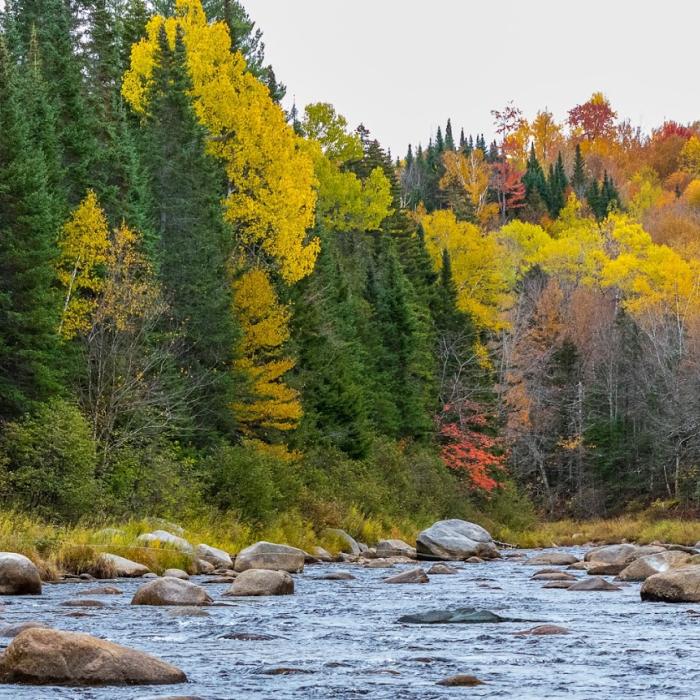
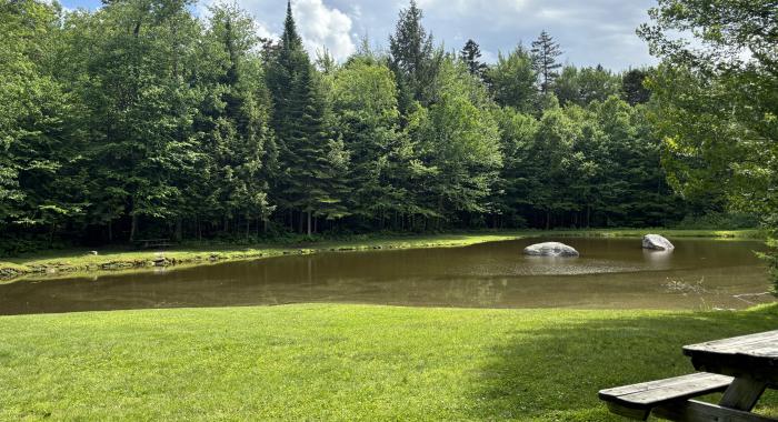
This forest protects 273 acres of lowland spruce-fir forest on both sides of the Ammonoosuc River. The 1.8 miles of river frontage are a premier cold-water fishing destination where anglers can try to hook Eastern brook trout, brown trout, or rainbow trout. To access the north side of the river, take the Tom Howe Trail, which follows part of the old Boston & Maine railroad bed, approximately 0.4 miles to the designated fishing point along the riverbank.
Ammonoosuc means “small narrow fishing place” in the Abenaki language. The river frontage protected within the Ammonoosuc River Forest is indeed a premier cold-water fishing destination, where anglers can hope to hook wild Eastern brook trout, brown trout, and rainbow trout. Access to the river is provided via the Tom Howe Trail, which leaves from this parking area and descends to the old Profile & Franconia Notch Railroad bed. Hiking west along the railroad bed for approximately 0.4 miles will bring you to the designated access point adjacent to the Ammonoosuc River. Along the way you may notice the old stone culvert work of the railroad, as well as sign of moose, otter and other wildlife.
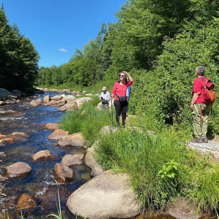
Please adhere closely to all directional signage as you enjoy this property and note that the area to the east of the parking area is private land that is not open to the public. Private land is clearly marked on the ground and on the adjacent map. Please help us be good neighbors and stewards by sticking to established trails and accessing the river only at the designated access point, from which you can traverse up or downstream.
This property may also be accessed from the south side, where it abuts the White Mountain National Forest and hosts the Twin Mountain Connector snowmobile trail. The southern entrance to the property is accessed at the end of Dori Way in Twin Mountain, NH.
The Ammonoosuc River Forest was conserved thanks to generous support from many organizations and individuals, including the Land and Community Heritage Investment Program (LCHIP), the NH Department of Fish and Game, the Upper Connecticut River Mitigation & Enhancement Fund at the New Hampshire Charitable Foundation, the NH Moose Plate Grant Program, the Trout Unlimited Cold Water Conservancy, the Trout Unlimited Ammonoosuc Chapter and four other TU Chapters across New England as well as their members, over 170 private donors and of course a generous gift from prior landowners, Dick and Nancy Gould and their family, who treasure this place.
Visitor Use Guidelines
Please see our Visitor Use Guidelines page for a complete list of rules and regulations for Forest Society reservations.
Property Details
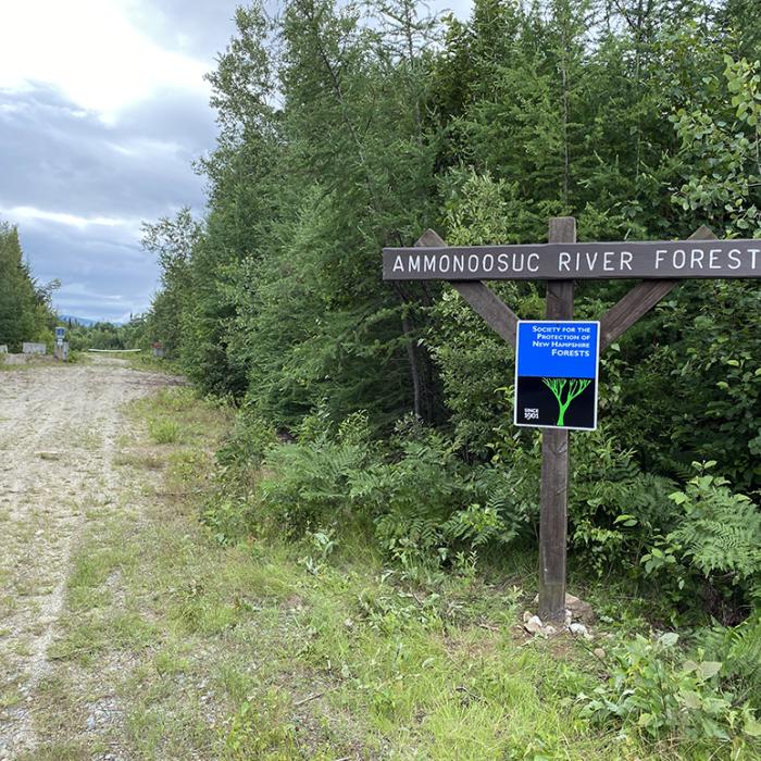
This property is best accessed from the small parking area on Route 302 in Bethlehem, NH. This is located approximately 5 miles east of the center of Bethlehem (junction of Routes 302 and 142), on the south side of Route 302.
Trail Information
Tom Howe Trail
Easy
0.90miles
This angler access trail is dedicated to Thomas A. Howe, a beloved long-time employee of the Forest Society who was responsible for the protection of this property prior to his sudden passing in January 2021. This was Tom’s final project, capping a career that conserved over 35,000 acres across the New Hampshire landscape. Tom was an avid fly-fisherman, outdoor enthusiast, and champion of wild places. He was elated to protect this special forest along the Ammonoosuc River for its spectacular scenery, recreational value, water resources, and high-quality riparian habitat. His colleagues, friends, and the Forest Society’s Board of Trustees dedicate this trail to Tom with gratitude and deep respect.