- Tags:
- Clean Water,
- Wildlife
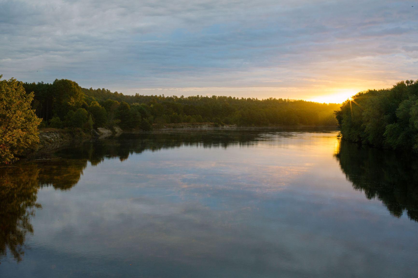
(Photo: Ellen Kenny)
Last year, thousands of people watched the Forest Society's documentary film, The Merrimack: River at Risk, and learned how critical the river and its watershed are to New Hampshire and the region as a whole. This year, work to protect the watershed continues on behalf of the Forest Society and the entire Merrimack Conservation Partnership.
The EPA has created an interactive product to bring together important geospatial data about the Merrimack watershed and to serve as a collaboration platform. With dozens of strategic partners working to protect the watershed, this product offers a mapping tool that allows users to customize layers of data to help visualize some of the watershed’s greatest challenges and attributes.
Learn More
- Visit the EPA's Merrimack River Watershed website.
- Missed viewing The Merrimack documentary? Watch the film here: forestsociety.org/riveratrisk
- Stay up to date on the latest news involving the Merrimack River watershed via our In the News page.