

The Forest Society is working side-by-side with a number of partners to shape a vision for land conservation in New Hampshire and parts of Massachusetts. Each regional plan varies somewhat in its visions, approach and end result, but each plan is also unified with the others in terms of the evolution of the planning process used in all its planning efforts.
Below is a brief synopsis of the four regional plans with links to the accompanying data and maps:
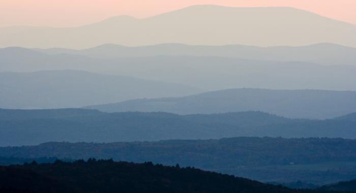
Quabbin to Cardigan
The Quabbin to Cardigan (Q2C) plan involves the largest region – about 3,000 square miles – and is unique in that it is an interstate plan with stakeholder input from Massachusetts. It was the first landscape scale planning effort in the state to develop a shared vision of land conservation goals and strategies.
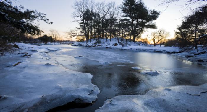
Coastal Watershed Plan
The Coastal Watershed Plan was a partnered effort of the NH Chapter of the Nature Conservancy and the Forest Society, and was the first plan to introduce the concept of core conservation focus areas into regional plans in the state. This approach has been incorporated into the Q2C plan, and most recently, in the Lakes Region plan.
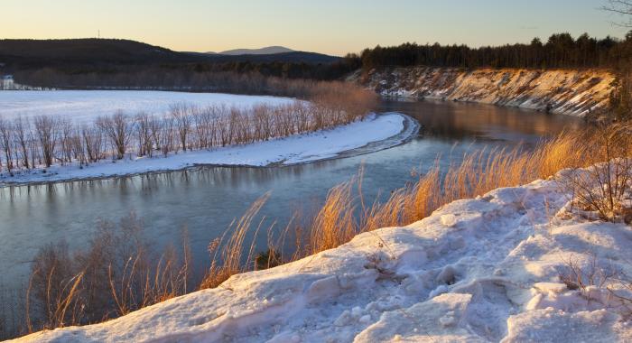
Merrimack River Watershed
The Merrimack Valley Plan is centered on the Merrimack River Valley Watershed, and is intended to serve as a bridge between the two plans above. Forest Society staff have generated a mission-driven plan for this region to assist in its land protection decision-making in this region, with the intention to develop a collaborative interstate plan similar to the Q2C in the near future.
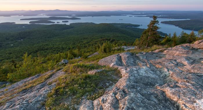
Lakes Region Plan
The Lakes Region Plan is significant in the statewide scheme of conservation planning because it addresses the last region south of the White Mountains to experience a concerted, collaborative effort to shape a vision for land conservation in New Hampshire.