

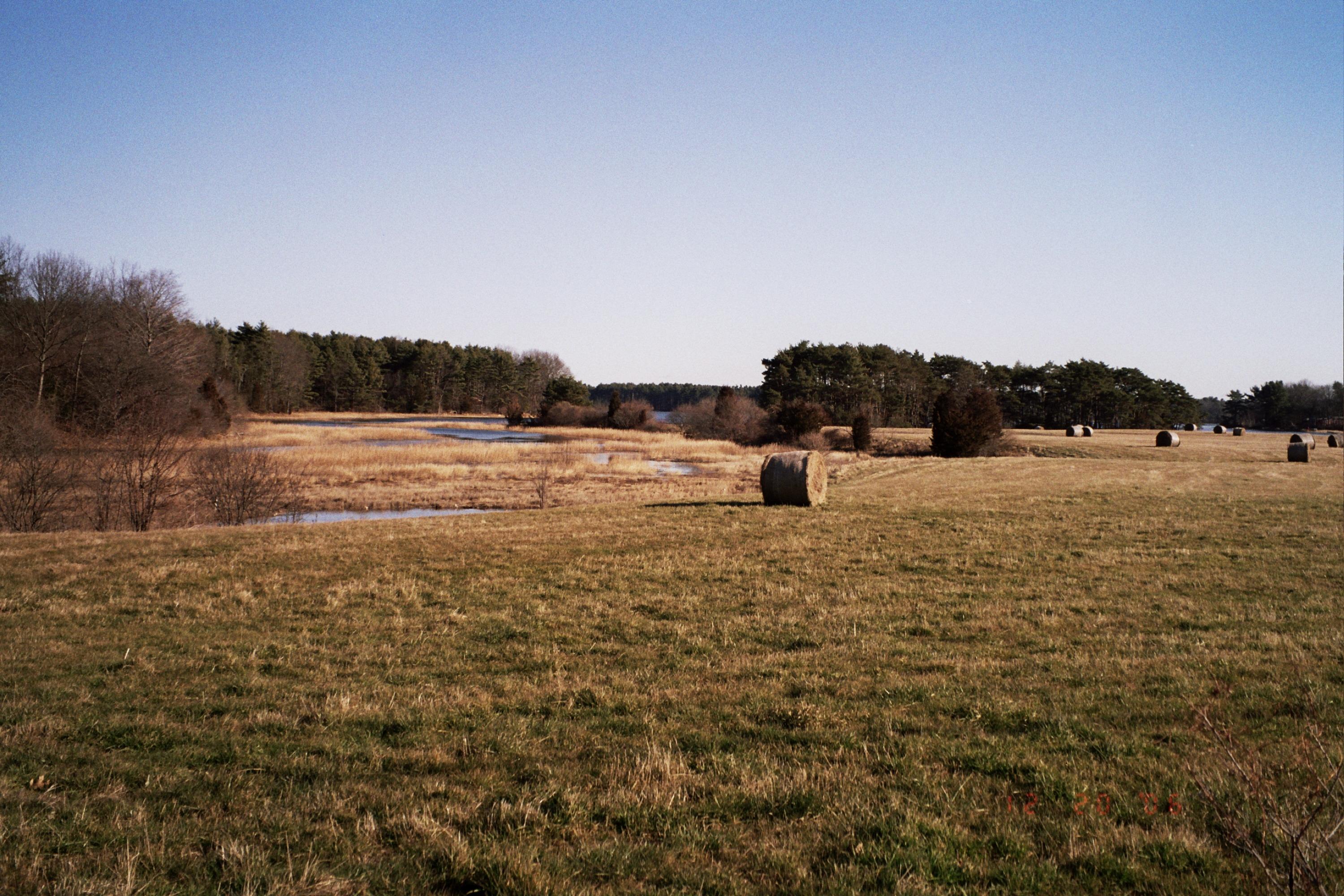
Conserved properties have protected some of the largest unfragmented blocks of natural lands in the watershed. Conserved lands include extensive upland forests, grasslands, and early successional shrubland habitat critical to the viability of many wildlife species of conservation concern. Embedded within the conserved lands is a mosaic of diverse freshwater and estuarine habitats including forested wetlands, beaver-managed stream systems, open marshes, floodplain forests, saltmarsh, intertidal rocky shoreline and mud flats.
Partnership conserved lands have protected 24.5 miles of shoreline, 59.5 miles of stream frontage and 1,882 acres of wetlands.
- For more information contact Brian Hotz at (603) 224-9945 or bhotz@forestsociety.org
- For more extensive information, visit the Partnership’s website at http://www.greatbaypartnership.org/
- Visit the NH Coastal Viewer website.
- Read New Hampshire’s Coastal Watershed Conservation Plan (2021)
- See the PDF version of the Coastal Conservation Plan map
