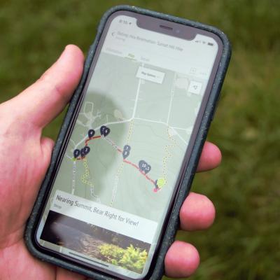
Visitors to Forest Society properties can now access information about land and trail maps easily from their mobile devices. Using the OuterSpatial platform, our mobile application is free and available for both iPhone and Android devices.
There are two interpretive outings at Mt. Major to choose from on our app:
History, Forests & Wildlife Outing
This route will take you up the Main Trail (blue) 1.5 miles to the summit, and return via the more gradual 2.1 mile Brook Trail (yellow). Along the way, we will point out a few interesting features of the landscape, natural and cultural history.
This hike is set up as a scavenger hunt to be played by families with kids. As you progress up the trail, see if you can find all of the "stations."
