

By Sam Feibel
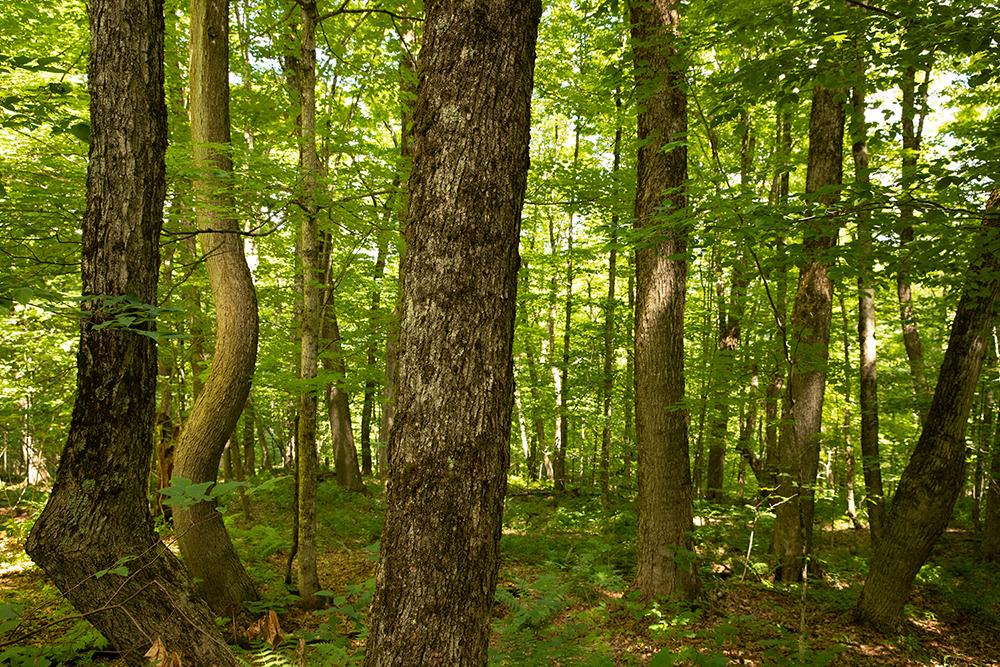
In 2019, The Society for the Protection of New Hampshire Forests (SPNHF) began using satellite imagery to monitor the 204,000 acres they conserve. Previously, they’d relied on photographs captured by low-flying planes. Director of Easement Stewardship Naomi Brattlof described the organization’s approach in the early days of remote monitoring.
“We used a volunteer pilot with staff hanging from the plane taking photos of properties,” she said.
Today, SPNHF no longer relies on pilots to detect illegal logging, construction, or other violations on their protected properties. Instead, they order imagery through remote sensing technology company Upstream Tech.
With data ranging from satellite photography and 3D elevation models to change detection and vegetation indices, companies like Upstream Tech help clients access perspectives that are impossible to obtain from the ground. This data is useful not only to a land trust monitoring a conserved wetland, but also to a corporation looking to verify carbon sequestration in a forest. This article explores an ongoing initiative of the Land Trust Alliance (LTA) that encourages land trusts across the country to explore the utility of remote sensing. As conserving land to protect ecosystem services and mitigate climate change becomes increasingly important to a wide range of organizations, intermediaries like Upstream Tech and others are working to improve the accessibility of remotely sensed data.