

The Forest Society is obligated to monitor our easements annually, but this doesn’t mean that your regional stewardship manager needs to walk the land each year. Aerial imagery is captured by satellite each spring for every conservation easement or restricted property. Your stewardship manager then reviews these images for any distinct changes from year to year, and will schedule a visit if major changes are noted. Otherwise, your stewardship manager will generally need to walk your property every 2 to 5 years.
Read more about remote monitoring for conservation in this article from Conservation Finance Network.
What happens during a monitoring visit?
A routine monitoring visit is a great way for you to get to know your regional stewardship manager, and for them to become more familiar with your property and your management goals. Your stewardship manager will contact you prior to any visit, in hopes of scheduling a time to meet with you personally. If you are unavailable, or cannot be reached, your stewardship manager will visit your property alone and will follow up with you by phone, email, or letter if there are particular issues found during the visit.
Depending on your interests and availability, you may meet with your stewardship manager before a visit and then join them for the entirety of the visit, or part ways and your stewardship manager will continue the visit on their own. Your stewardship manager will most likely plan to walk a mix of interior trails, high activity areas, boundaries, or any areas where there have been previous concerns. The size of your property will dictate how much area your stewardship manager can cover in a day, and under certain circumstances they may need to return for a later visit.
Many landowners have questions about particular areas on their property; if you would like your stewardship manager to visit any particular area (difficult boundary, interesting wildlife activity, trail condition, etc.), please feel free to ask before or during the visit.
How should I maintain boundary lines?
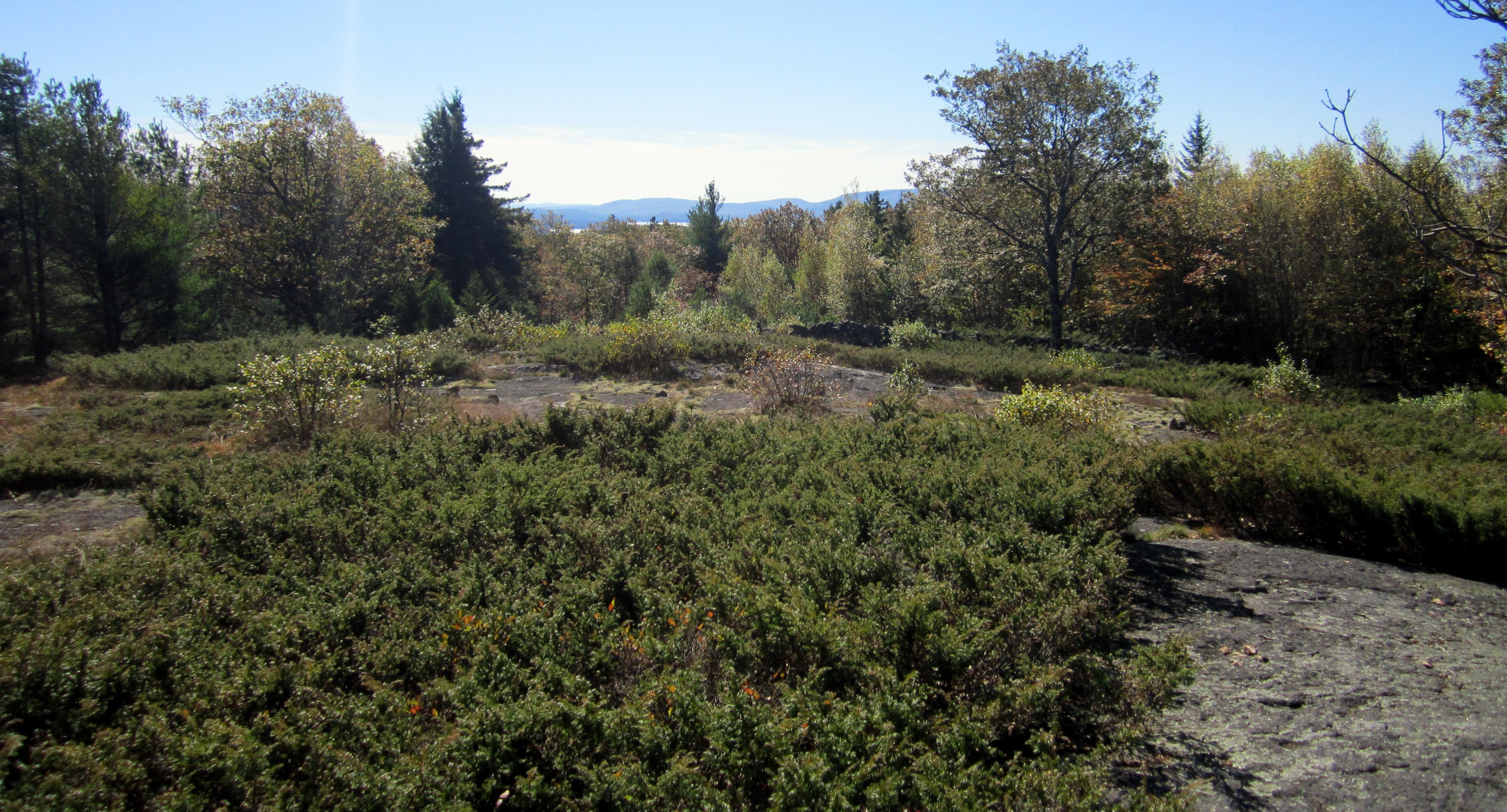
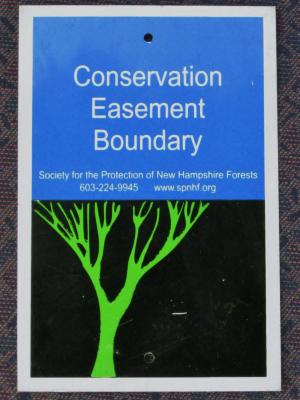
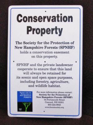
Boundary line maintenance can seem like a perpetual chore. However, it is an important part of protecting your property. We recommend that you walk your property and easement boundaries annually. This will help you, and your neighbors, know where the limitations of the easement are and might prevent accidental encroachments or other prohibited activities in the easement area.
You can help maintain your boundary markings with some of the following techniques:
- Walk property lines regularly to remain familiar with their location and observe potential issues with abutter activities;
- Periodically clear small brush that obscures the line or monuments;
- Repaint existing blazes and replace worn flagging along lines or corners;
- Do not blaze or paint trees which have not already been blazed by a surveyor;
- Do not cut trees of any significant size near the line unless you are absolutely certain they are on your property;
- You may need to hire a licensed surveyor or forester to help identify or blaze your boundary lines.
- Your property may have a survey on file with us. Please contact your regional stewardship manager for an emailed copy if needed.
What are Baseline Documentation Reports?
A baseline documentation report (BDR) is a reference document that establishes the condition of the property at the time of the easement. The report includes a description of the property, its conservation values, detailed information on any structures or improvements, and any other information that may be essential to defending the easement in the future. The report is prepared prior to closing, and is signed by the original Grantor and the land agent or field staff.
Some older easements might not have a baseline report, or substantial changes to a property may require an update to the original report. In these cases, a Current Conditions Report (CCR) is used in place of a BDR. The CCR contains all of the information found in a BDR, but will also include the history of the property or any major changes that have occurred since the easement was initially conveyed.