About the Property
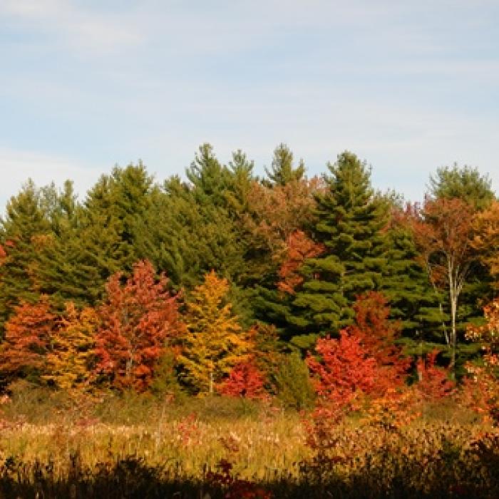
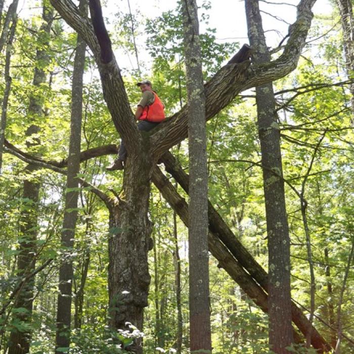
Quiet and peaceful intersecting loop trails, a brookside meadow, and an enormous pine tree that exploded after a lightning strike in 2020 are just some of the features waiting to be discovered at these beautiful Canterbury properties. The trails pass through pine and hardwood forests that were lightly managed by land donor Quentin Hutchins. Careful forest management has been implemented on the Hutchins tree farm for many decades, which helps contribute to the health and diversity of the lands while improving standing timber. Look for pines where the lower branches were pruned off (you can still see telltale marks in the tree bark where a branch was sawn off). There is a large beaver meadow in the northerly portion of the property, which can be seen from Route 132.
The adjoining Ambeau Forest has a similar history of land use, but with slightly better soils, it has hosted a more productive forest over time.
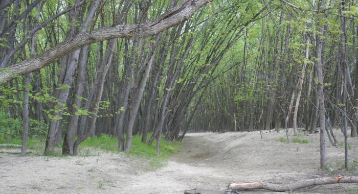
There are small, struggling remnants of the once robust population of American Chestnut growing in the understory of the forest. These trees survive by sprouting from the old root system, over and over. Sadly, as the tree stems grow large enough to be able to flower, an exotic invasive disease, chestnut blight, chokes the tree’s circulatory system, causing the stems to die. To learn more about the effort to combat chestnut blight and return this majestic tree to our forests, go to http://www.acf.org/.
Property Details
Like so much of New Hampshire, this land was all cleared for pasture by early settlers and remained in that condition until some time in the early 20th century. It then was abandoned from farming and gradually reverted to forest predominated by white pine. When Quentin and Mary Hutchins owned the property in the later half of the 20th century, they managed it for forest products, much of which Quentin harvested himself. He had a small saw mill on his adjoining house lot.
Quentin and Mary Hutchins were among the earliest New Hampshire landowners to enroll in the Tree Farm system, a program that recognizes good forestry and land stewardship. After reading about a gift of land to the Forest Society in the local newspaper, the couple decided that the best way to ensure that their land would continue to be a Tree Farm and remain available for conservation education and recreation was to donate their property to the Forest Society. Nearly 20 years later, Paul Ambeau decided to donate the adjoining 20 acres that had been in his family since 1939. This forest was also well managed, and at the time of Mr. Ambeau’s donation, it had mature white pine ready for harvest.
Please see our Visitor Use Guidelines page for a complete list of rules and regulations for Forest Society reservations
Trail Information
Tree Farm Loop Trail
Yellow Rectangles
Approximately 700 feet past the trailhead on Southwest Road/Route 132, you will reach a T intersection. Go right here around the Tree Farm Loop. At the next three trail junctions, turn left until you have completed the 0.5 mile loop. At the fourth junction (the original T intersection), turn right to return to the trailhead.
Burnham Brook Loop Trail
Yellow Rectangles
Approximately 700 feet past the trailhead on Southwest Road/Route 132, you will reach a T intersection. Turn left here. In 0.12 miles you will reach the wetland edge of Burhnam Brook. Turn right, following the trail as it parallels the southern bank of Burnham Brook for about 0.35 miles. About 0.14 miles after leaving the brook’s edge, you will reach a large open area which served as a log landing during past timber harvests on this forest. When you reach the log landing, walk to along its right edge to where the trail re-enters the woods again. Follow this trail 0.14 miles to the intersection with the Tree Farm Loop trail and bear left at the fork. After 0.12 miles, turn right at the junction and then make a quick left onto the trail back to the trailhead.
Ambeau Forest Trail
Yellow Rectangles
Approximately 700 feet past the trailhead on Route 132, you will reach a T intersection. Go right here, and take another right after about 80 feet (do not follow the Tree Farm Loop). This trail will take you to the Ambeau Forest after crossing a footbridge over a small stream. Once on the Ambeau Forest, a 0.5 mile loop trail can be traversed in either direction you prefer. Return to the trailhead the way you came in.


