About the Property
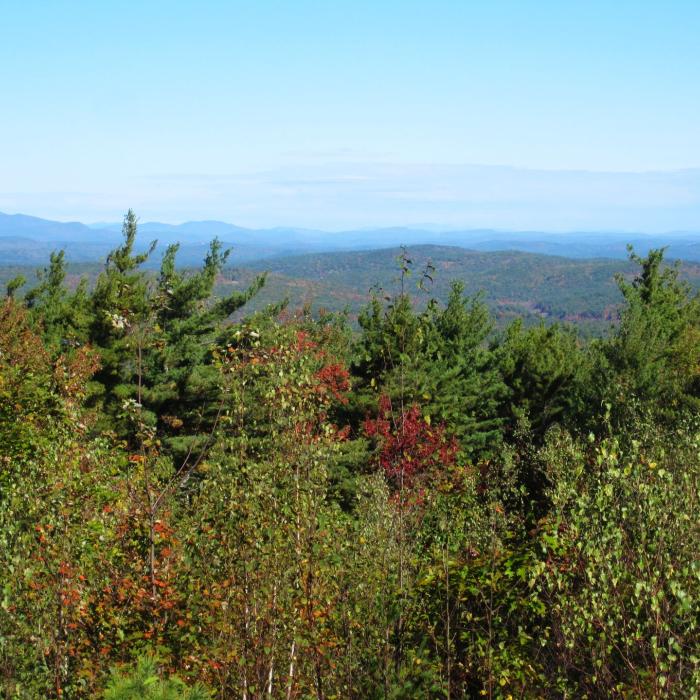
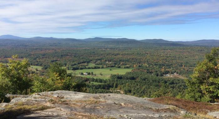
The marked trail at the Buxton-Simons Forest begins from the property gate and sign off Flanders Memorial Drive and leads into a beautiful hemlock forest along a marsh. Along the trail, observant visitors will notice that the area was sustainably harvested in 2018. Evidence of forest thinning and a series of patch cuts are visible from the trail. These valuable openings will allow light to reach the forest floor and encourage new growth. The trail’s elevation increases steadily, leading to the 1,201-foot summit of Mount Wallingford, the highest point in the town of Weare. On a clear day, visitors can see the summit of Mount Washington. Look for wild blueberries in season.
Please see our Visitor Use Guidelines page for a complete list of rules and regulations for Forest Society reservations.
Trail Information
Mount Wallingford Trail
Yellow Rectangles
A marked trail leads from the property entrance on Flanders Memorial Road to the top of Mount Wallingford. This 2.5-mile, moderately strenuous route takes you along old woods roads (now a snowmobile trail) and along a narrow hiking path. There are some steep sections to reach the summit.


