
Why do New Hampshire residents and out-of-state visitors alike dig deep to conserve our special landscapes? One clue came from among 1500 contributions to the Forest Society's “Save the Balsams” fundraising campaign. A donor shared a cherished black and white family photograph from the early 1900s of her grandfather, – a young man in starched shirt, dark tie and pressed slacks - posing at Table Rock. The contribution was accompanied by a wish: “Hope it will always stay as it was then!”
The remarkable beauty the GraniteState connects us to our shared history, to our predecessors and provides the opportunity to bequeath unspoiled natural heritage to our successors who will one day call New Hampshire home.
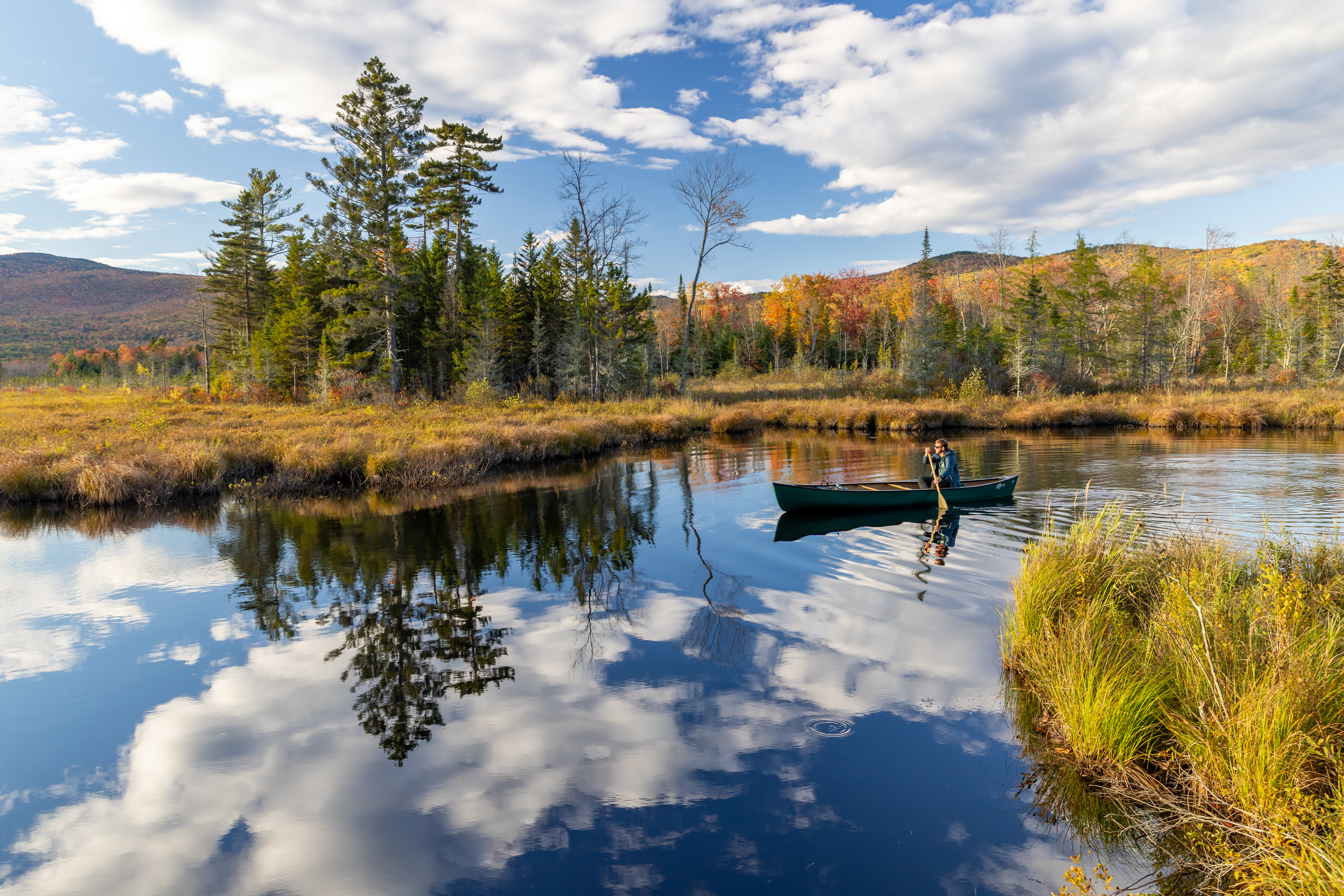
This week New Hampshire is celebrating the permanent protection of 5,800 acres of remarkable North Country heritage surrounding The Balsams Grand resort located in Dixville Notch. The conserved land includes the popular Table Rock outlook that offers a spectacular vista across CoosCounty to Maine, Vermont and Canada and it protects thirty miles of recreational trails include hiking and snowmobiling trails as well as a section of the Cohos Trail that runs from Crawford Notch in the White Mountains to the Canadian border in Pittsburg.
Human history has been written into the landscape of Dixville Notch. This history spans glacial geology to prehistoric people to Colonial era farmers and post-Civil War estate- builders and resort developers. Now our generation has written an entirely new chapter thanks to generosity of 1500 donors and the foresight of the Tillotson Corporation and Trust. The historic conservation outcome this past week will forever protect the historic landscape of The Balsams in perpetuity.
The Balsams is well-chronicled. Jeff Wallner, former Director of Education at The Forest Society, and Mario DiGregorio researched and co-authored the Dixville Notch Natural History Handbook in 1989. From them, we learn the earliest inhabitants of Dixville Notch predated Abenaki tribes. The prehistoric Paleo-indians inhabited seasonal campsites while hunting caribou. Archeological sites in the MohawkRiver basin contain evidence of an 11,000 year old encampment, caribou kill site and butchering remains including bones and an ancient meat storage chamber. The earliest residents traversed alpine tundra in the young, post-glacial landscape in search of meat.
In contrast, the first Europeans arrived only 200 years ago. Betsy and John Whittemore’s are among the oldest graves located in Dixville Notch. Their farm on the valley floor and an historic farmhouse now inside a hotel building had at one time belonged to the “Dix” family for whom “Dixville” was named. Various hills, ridges, lakes, streams, dams, cellars, farm buildings and maple sugar orchards of The Balsams - are depicted on the 1919 hand-drawn survey map labeled “The Balsams Estate, Henry S. Hale Proprietor.” The map was compiled from surveys dating back to November 1864. It is is proudly signed “Charles Tucker, land surveyor of Colebrook and vicinity for 61 years.” Tenure and local knowledge are hard-won.
Henry Hale, the original estate builder acquired the 146-acre Hook farm and the 180-acre Hodge farm in Dixville Notch. Farmlands and maple sugar orchards were located in Colebrook on the valley floor. The 1919 survey map depicts Hale’s “Balsams Estate” including the golf course at 4,551 acres – roughly 2500 acres in Colebrook and 2000 acres in Dixville. The iconic grand hotel of the famous European-style resort was refined and expanded by Neil and Louise Tillotson. The Balsam’s dramatic natural setting west of geologically-unique and rugged Dixville Notch has long been the main attraction.
Across The Great Divide
Beginning in the mid-1800’s, Hale altered the hydrology of ponds – employing crews of immigrant labor who worked like beavers to dam streams and divert water. A canal along MountAbeniki diverts water across the principal watershed divide between the Connecticut and MerrimackRivers.
Mud Pond, originally “MooseLake,” is controlled by a dam. Its water is diverted south via an aqueduct named “MooseLake canal” along the west slope of MountAbenicki. The canal was engineered to divert the water to an impoundment originally called “LakeWildwood” located east side of the mountain. The reservoir provides water via Moss Glen Brook to The Balsams hotel and LakeGloriette which drains via the Mohawk River to the Connecticut River all the way to Long Island Sound.
The original natural outlet of Moose Lake drained northeast to Nathan Pond, the Swift Diamond River and thence to the Magalloway and Androscoggin Rivers, eventually reaching the Gulf of Maine more than 200 miles from the mouth of Connecticut at Long Island Sound. Ranging in elevation from 1420' to 3380' above sea level, the high country of The Balsams straddles New Hampshire’s own great divide.
At the crest of the watershed divide, Sanguinary Ridge derives its name meaning “blood-like” from the blood-red hue of the rock at sunset. While the rocks appear gray with a metallic sheen by daylight, the rocks change color from gray to red in low angle light. Geologists date the bedrock phyllite, schist and quartz of the “Albee” and “Ordway” formations in Dixville at 500 million years old – 200 million years older than the granite of the more famous Franconia and Crawford Notches. Angular metamorphic schist is brittle, crumbling to rubble and not as smooth and rounded as younger granite formations formed by volcanic activity. Dixville Notch presents a distinct jagged profile and its bedrock is among the oldest rock found in the state.
The land was re-shaped by the “Wisconsonian” ice sheet that covered the state in many places to depths of a mile thick and scoured the landscape from northwest to southeast, plucking boulders and carving notches while leaving distinctive “U-shaped” glacial cirques. When the glacier receded 11,500 years ago, mountains and notches familiar to us emerged.
The forest and wetlands at The Balsams provide diverse wildlife habitats. A full compliment of native wildlife including the more common icons of North Country tourism: moose and bears. Conservation of the property creates a vital landscape linkage between adjacent protected lands, critical to wide-ranging wildlife species dependent upon large forested acreage. Examples include northern goshawks, pine martin and lynx. Rare and notable bird species present at The Balsams include Peregrine Falcon, Black-backed woodpecker, Bicknell’s Thrush and Cliff swallows.
While most of the forest is maturing second growth, on the steep and inaccessible slopes, forests exhibit old-growth characteristics. The dynamic forest landscape provides diverse wildlife habitats. The forest composition, structure and wildlife habitats will continue to change over time and sustainable forestry on the property will continue into the future. What will not change are permanent conservation restrictions which now prohibit subdivision and development of new man-made structures other than recreational features including trails, bridges and shelters on 5800 acres of the 7600 acre Balsams property.