- Tags:
- Advocacy

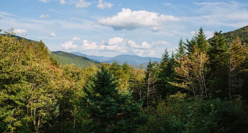
View from the Bird's Nest at Lost River Gorge.
The Trust for Public Land and the LWCF Coalition recently launched an interactive comprehensive nationwide map of all the investments the LWCF has made during the program’s entire 55-year history.
The map allows users to find LWCF-supported projects in their home state or region and find their favorite local park or outdoor recreation destination and to learn more about how LWCF impacted access to the outdoors. It also allows users to take a virtual trip across the country to see how LWCF protected some of America’s most important and treasured national parks, forests and historic sites.
