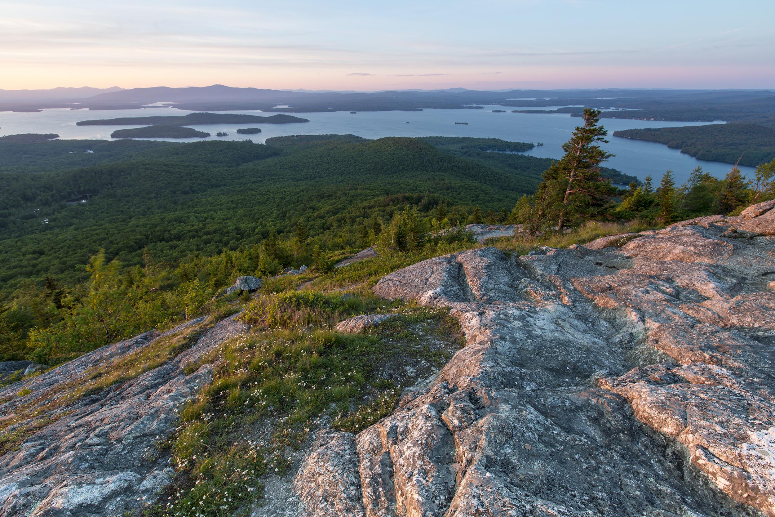
Working together, the group developed a science-driven, consensus land conservation plan that integrates the best-available natural resource data with expert judgment to prioritize land protection that aims to protect water quality in the region by prioritizing the most critical forests and shorefront lands to conserve over the next decade.
The Lakes Region comprises about 20% of New Hampshire’s land area but contains roughly 50% of the state’s surface water. It is also the state’s fastest-growing region in terms of population and land development. The plan was developed by the Forest Society and its partners strictly as a guide for voluntary conservation by landowners interested in protecting their land.
- For more information contact Brian Hotz at (603) 224-9945 ext 316 or bhotz@forestsociety.org
- Read the plan here as a PDF.
