
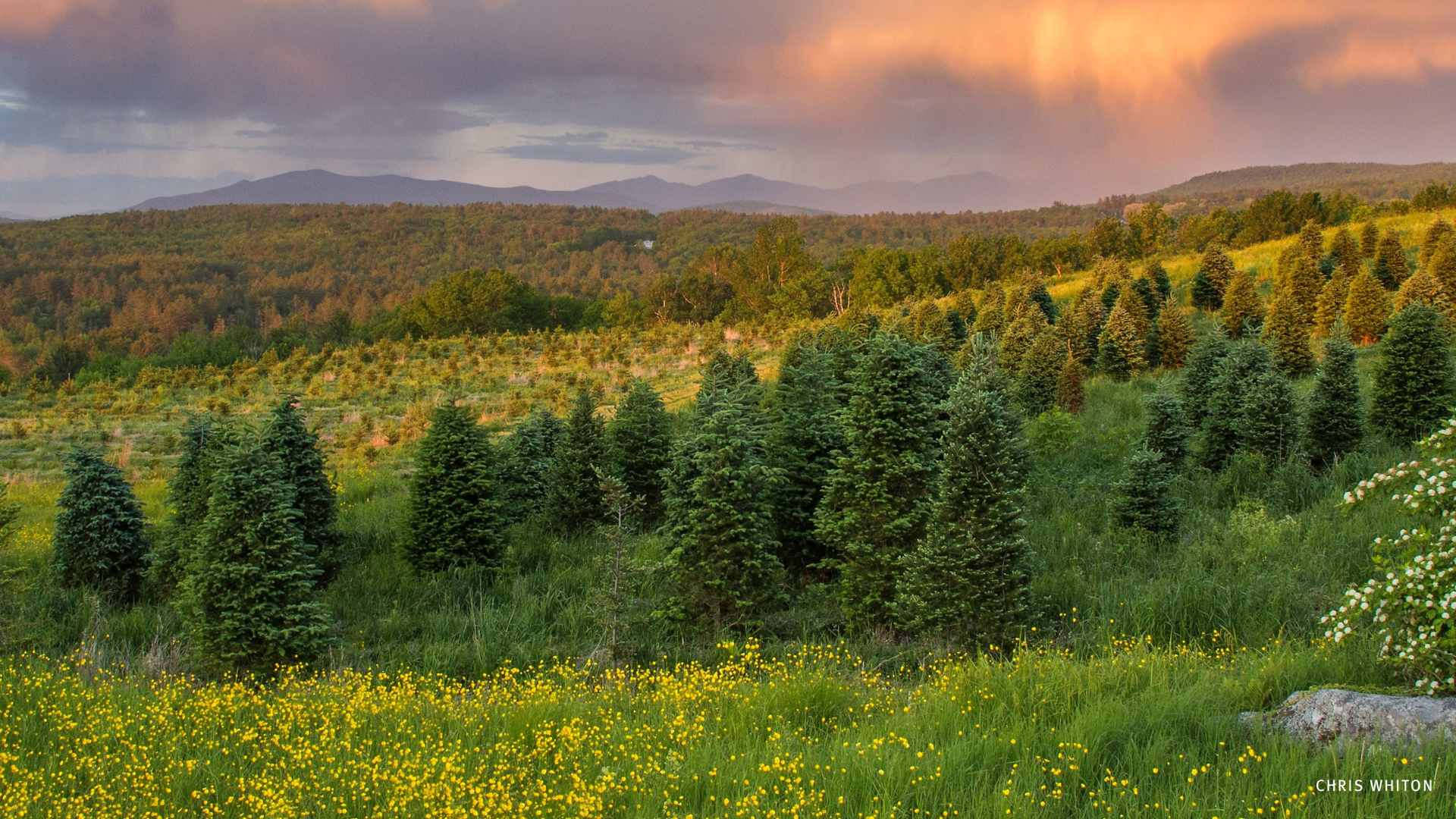

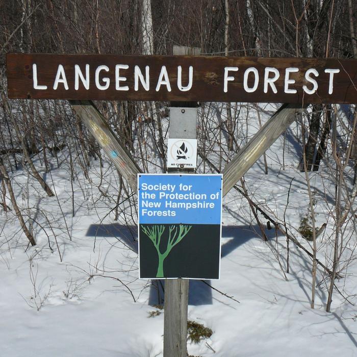
About the Property
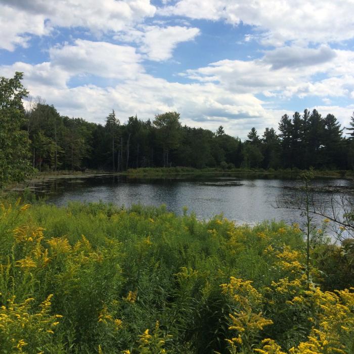
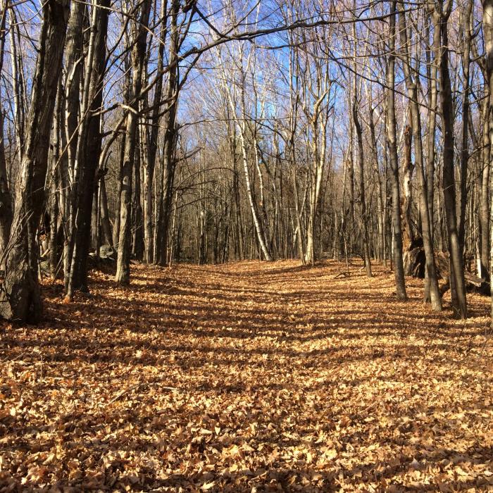
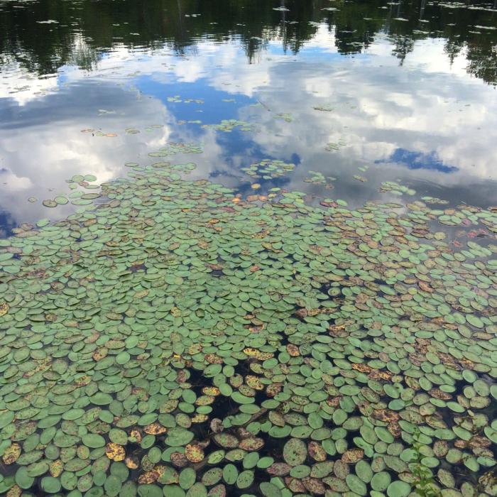
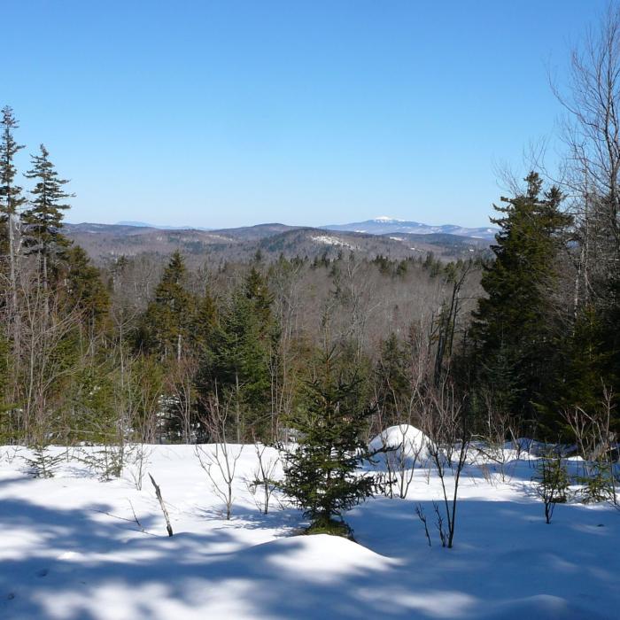
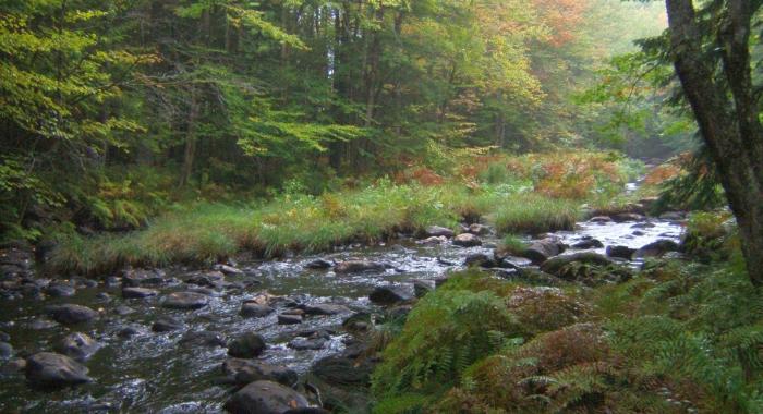
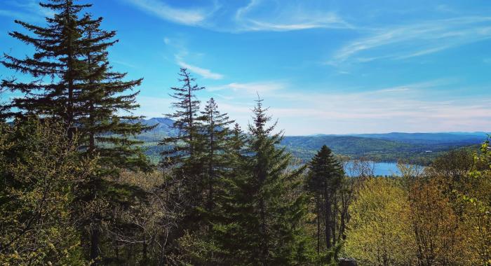
Trails on the Langenau Forest are part of a larger network of trails in the area, including those maintained by the Wilmot and New London Conservation Commissions, and the Sunapee Ragged Kearsarge Greenway. It is possible to make a nice 2-mile loop hike from the trailhead at Langenau Forest, utilizing the Langenau Forest Trail and the Pleasant Lake High Trail. Refer to the PDF map linked in the sidebar. The first section of trail (yellow and blue blazes) skirts around a small wildlife pond with plenty of emergent grasses and vegetation around its edges. Look for evidence of beaver (Castor canadensis) activity such as chewed stumps and bank slides (muddy chutes where beaver have repeatedly slid into the water) as you skirt the pond’s edge. This section of trail passes through mixed woods with lots of red maple and white pine, and eventually intersects with the Pleasant Lake High Trail (orange and green blazes) which runs just beyond the southern property boundary of the Langenau Forest. This adjacent property was harvested around 2014, and cleared areas now provide excellent views to the south and west. Near the western corner of the Langenau Forest, the Pleasant Lake High Trail connects with the Sunapee Kearsarge Ragged Greenway (SRKG). Hikers wishing to return to the Langenau Forest trailhead will need to cross two small footbridges before heading uphill on the Langenau Forest Trail (yellow blazes) for approximately one mile back to the start. This section of trail passes through primarily softwood forest- red spruce, balsam fir and white pine- with associated mossy undergrowth. This trail can also be hiked in the opposite direction- please pay attention to trail blazing colors as the different blazes make this loop slightly more challenging for hikers.
Please see our Visitor Use Guidelines page for a complete list of rules and regulations for Forest Society reservations.
Recommended Properties Nearby
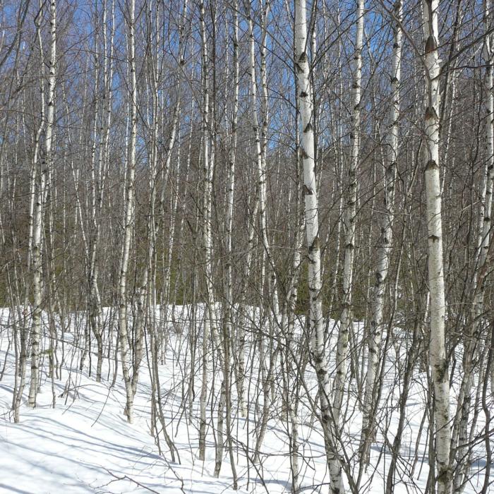
Like much of the region, the slopes of Barton Hill were cleared for farm pastures and timber by the mid 1800s. The abandonment of hill farms allowed this land to gradually revert to a forest of poplar, white birch, and pine.
More than 100 years ago, the rugged natural beauty of Land Sunapee’s shores inspired American author and diplomat John M. Hay to build a summer retreat in Newbury. John Hay had been a private secretary to Abraham Lincoln and secretary of state under two presidents (William McKinley and Theodore Roosevelt).